Per chi adora le montagne il fascino da esse emanato è indiscutibile Per tutti gli altri una tale fascinazione è pura follia. Dal film documentario Mountain
- descrizione

descrizione:
Un percorso mitico e impareggiabile. la meta, il tremalzo è un must per noi bikers, un tour che non deve mancare nel nostro curriculum..
Un luogo quasi mistico per noi bikers, un luogo di culto sentito citare per la prima volta da qualche amico biker o letto su qualche rivista, rimane nella memoria fino a quando un giorno si decide di andarci, qualsiasi appassionato desidera percorrere prima o poi, il mitico Tremalzo! Da Vesio ci dirigiamo nella isolata valle San Michele dove dal laghetto ha inizio la salita, dopo diversi tornanti sulla ampia sterrata si raggiunge le meravigliose cascate Pis e successivamente l’agriturismo Malga Ciapa e a breve il passo Tremalzo dove troveremo tantissimi bikers. Si prosegue ancora un poco in salita fino alla galleria che attraversiamo, dall’altro lato ci attende l’interminabile discesa sterrata che percorre l’antica strada militare. Terminata la lunga discesa divertente e piena di tornanti si giunge al passo Nota, da qua si può optare sulla discesa asfaltata oppure proseguire lungo la strada militare, sentiero numero 106 che ci riporta a valle al punto di partenza.
Nota: ----> Il tour descritto parte ed arriva da Vesio, è possibile allungare il tour partendo da Limone e raggiungere Vesio su strada, in questo caso si aggiungono 7 km, 650 mt di dislivello e circa due ore di padelata in più.

ADATTO per E-BIKE percorso perfetto da percorrere con la e-bike, prestare un poco di attenzione al consumo batteria e buon divertimento!
Luoghi attraversati: Vesio, valle San Michele, costa monte di mezzo, bocca di Lorina, cascate Pisu', malca ca' de l'era, passo della Cocca, malga Ciapa, Tremalzo, bocca di val Marza, passo Gatom, passo pra' della rosa, Passo Nota, Vesio
distanza: 37,5km
dislivello: 1800mt
difficoltà: medio-alta
ciclabilità: 100?%
vedi tutti i dati
Dati percorso, mappa percorso, grafico altitudine, istruzioni d'uso mappa interattiva, descrizione dettagliata.
Luogo di partenza e arrivo è Vesio , per vedere il luogo di partenza CLICCA QUA
Vesio - Tremalzo::
Parcheggiata l’auto nel parcheggio PIC1 ci dirigiamo nel centro del paese, ovvero scendiamo a sinistra PIC2 , percorriamo la discesa che entra nel paese e giunti all'incrocio proseguiamo sulla via bassa diritti PIC3 attraversiamo in toto il centro Vesio fino a giungere sul lato ovest dell'abitato, imbocchiamo la strada SP38 con indicazioni Sermerio - eremo di san Michele , raggiunto un bivio teniamo la salita a destra (indicazioni Tignale-Brescia) PIC4 la strada poco dopo inizia a scendere e ragginge una piana d’erba, quando la strada piega nettamente a sinistra (località Polzone ) prendiamo la sterrata a destra (dove si trovano dei parcheggi) con indicazioni valle San Michele (sentiero 175) PIC5 . La sterrata inizialmente si svolge in falsopiano tra radure e boschetti fino a giungere a l’ agriturismo San Michele PIC6 , superiamo il ponte a fianco del laghetto artificiale e dopo 200 metri si sale a sinistra PIC7 sulla lunga salita sterrata tranquilla ed esposta al sole che ci fa guadagnare quota velocemente. Dopo un tratto a tornanti roccioso si entra nel folto del bosco e al bivio si va a destra PIC8 lungo la sterrata meno pendente che dà un po di tregua alle nostre gambe, proseguiamo in falsopiano lungo questa via denominata Bocca di Lorina sino a giungere alle meravigliose cascate del Pisù (sentiero 184).
Panorama sulla sterrata che sale al Tremalzo
Oltre le cascate si prosegue sui pascoli ( malga cà dell’Era ) e giunti al passo della Cocca si prosegue a sinistra in salita PIC9 , dopo un paio di tornanti si arriva all’ agriturismo Malga Ciapa PIC10 e dopo altri 2 km e qualche manciata di tornanti si arriva finalmente al mitico passo Tremalzo dove si trova l’ albergo Garda , meta di tantissimi bikers, anche da strada che raggiungono la cima salendo dalla strada che parte dalla valle di Ledro.
colori a fianco della grigia carrareccia
Tremalzo – Passo Nota:
Dal rifugio si prosegue sempre sul sentiero 184 PIC11 in salita e a breve attraversiamo una galleria che ci porta in Trentino alto Adige PIC12 con vista su valle del Piles e val Bondo. Scendiamo lungo la interminabile discesa su sterrato facendo molta attenzione ai ciclisti e pedoni che percorrono questa via militare in salita. Si attraversano gallerie, tornanti e le viste sono meravigliose.
Nota: ----> ATTENZIONE! Non fatevi prendere troppo la mano e non distraetevi dalla guida guardando il panorama, in diversi punti oltre la carreggiata non protetta ci sono precipizi profondi, quindi PRUDENZA!
cascate del Pisù
Teniamo sempre la sterrata principale passando per passo Gatom , passo Pra della Rosa fino a giungere dopo 7 km di puro divertimento il famoso passo Nota .
Passo Nota - Vesio:
Raggiunto Passo Nota , crocevia di numerosi sentieri, possiamo optare per due scelte PIC13 : La prima più semplice è scendere a destra percorrendo la strada che ci porta sul sedime del lago di Bondo e giungere a breve a Vesio dove abbiamo lasciato l’auto qualche ora prima. La seconda seguire le indicazioni del percorso Passo Nota , ovvero arrivati all’incrocio svoltiamo a sinistra e poi subito a destra lungo la strada militare sterrata sentiero numero 106 che inizialmente sale, passa vicino al cimitero militare da dove inizia una lunga traversa e successivamente si tuffa a valle fino a Vesio terminando proprio dove abbiamo lasciato l’auto.
la stupefacente discesa verso passo Nota
indicazioni fotografiche
Area Download:

download traccia
traccia GPX traccia KML file ZIP

garmin connect

roadbook PDF
istruzioni d'uso area download
Galleria fotografica.
come arrivare
Autostrada A4 Milano-Venezia , uscita Brescia Est , proseguiamo sulla superstrada in direzione Salò , dopo le gallerie sempre diritti sulla Gardesana occidentale SS45BIS per 30 Km fino a giungere a porto di Pieve andiamo nella galleria a sinistra e saliamo lungo la strada della forra raggiungendo Pieve (strada molto caratteristica, stretta non adatta a camper o grandi mezzi, NO BIKE SUL TETTO!!), svoltiamo a destra e sempre diritti seguendo le indicazione per Vesio - lago di Bondo dove allo scollinamento andiamo a destra dove troviamo un ampio parcheggio.
indicazioni in google maps
istruzioni d'uso pagina percorsi, area commenti dei lettori:.
Traccia e condividi le tue attività al meglio. Trasforma le tue attività in storie bellissime, anche con video animati in 3D. Una corsetta veloce, un giro in bici pazzesco, o una camminata nel sole. Qualsiasi cosa ti vada di fare. Condividi tutte le tue attività in modo semplice e bello.
2016-2024 © Garda Mountain Bike - www.gardamountainbike.com - ALL Rights Reserved. Utilizzando questo sito accetti le condizioni sulla privacy, note legali e cookies qua sotto elencate: Privacy Policy | Cookies policy | Legal notes and disclaimer

- Route Finder
- Route Planner
- Travel Guide
- Places to visit
- Eat & drink
- Accommodation
- Ski resorts
- Current Conditions
- Avalanche Report
- Collections
- Travel Stories
- Publications
- Help-Center
Tremalzo Big - Tour

Explanation
Bike lovers who visit Valle di Ledro cannot miss a ride to the legendary Passo Tremalzo, a cult destination for bikers!
Signage: 779. Tremalzo Big Tour
This route has two souls. The ascent to Tremalzo, a real climb on an asphalt road with an average gradient of 7%, and the descent, a route full of excitement along old military roads with breath-taking curves and spectacular views of Lake Garda. To complete the tour there’s nothing better than a swim in Lake Ledro.
Variants: 779a. Variante Caset Rinalt - Trail - 779b. Variante Caset Pubregn - Trail
Author’s recommendation
It is also possible to do the tour in the opposite direction, i.e. clockwise, following the signposts marked 779. Tremalzo Big Tour - Clockwise. In this case, the ascent is on dirt road and the descent on asphalt.

Derived from the technical difficulty and the stamina requirements.
Track types
Safety information.
ITRS - International Trail Rating System
The ITRS is an objective way to assess trails and routes from a biker’s perspective, evaluating four aspects:
- Technical Difficulty: riding skill level needed
- Endurance: combined effect of length, uphill and downhill
- Wilderness: amount of planning required based on mobile phone reception, rescue options, water supply and wildlife
- Exposure: consequences of a fall
Discover more about the ITRS system and check the classification of this tour in the photo gallery.
Safety Tips
- Always wear your helmet.
- Plan your ride.
- You share the trail with other users. Yield right of way to hikers.
- Let your speed be determined by your experience.
- Ride slowly on crowded trails, overtake with politeness and respect.
- Cycle only on authorized and open trails.
- Avoid muddy trails in order not to damage them further.
- Respect public and private property.
- Always be self-sufficient.
- Do not cycle solo in remote areas.
This information is subject to inevitable variations, so none of these indications are absolute. It is not entirely possible to avoid giving inexact or imprecise information, given how quickly environmental and weather conditions can change. For this reason, we decline any responsibility for changes which the user may encounter. In any case, it is advisable to check environment and weather conditions before setting out.
Tips and suggestions
For more information on routes, bike services (rentals, workshops, shops) and cycling friendly accommodation: Garda Trentino - +39 0464 554444
Destination
Turn-by-turn directions.
From the car park near the tourist office in Pieve di Ledro we take Via Imperiale and embark on the Valle di Ledro cycle path, which winds its way through fields and residential areas, alternating between sections closed to traffic and mixed stretches for about 7 km. Just before reaching the Lago d'Ampola nature reserve, almost at the end of the cycle path, we take the dirt road on the left, a rather steep shortcut to the provincial road to Tremalzo. From here the route to Passo Tremalzo is clearly defined and runs entirely on a tarmac road for about 15 km.
Those who wish to shorten the route can take the variants 779a. and 779b. at Rifugio Garibaldi and descend down the valley towards Tiarno di Sopra or towards Pieve via Bocca Caset. Both variants present more challenging technical characteristics than the descent from Bocca Fortini.
From the pass we continue along the old First World War military road towards Bocca di Val Marza, pass the tunnel and begin the descent towards Passo dei Gatùm, Passo Prà della Rosa and Passo Nota, characterised by the breathtaking curves that are among the highlights of this route. From Passo Nota the route becomes less steep and has a slight up and downhill stretch to Bocca Fortini. From Bocca Fortini we take the forest road to the left and begin the descent into the forest, which is quite steep in places. Ignoring the numerous forks along the way, we continue the descent for about 5 km, after which the dirt road gives way to a tarmac surface for the last stretch to Lake Ledro.
When we reach the lake, we turn left and continue alongside it, first on Via al Lago and then on Via Val Maria, until we reach Pur. At the crossroads we keep to the right, pass the beach and continue along Via Mal Maria. After about 1 km, at a hairpin bend, we take the cycle path on the right, which leads to the Pieve sailing club. From here we continue along Via Alzer and turn left at the first opportunity to rejoin the cycle path. This briefly rejoins Via Alzer and then turns left and runs alongside the stream for 1 km, after which it rejoins Via Imperiale. We turn right to return to our starting point.
Public transport
Public-transport-friendly
Valle di Ledro is connected to Riva del Garda by the intercity bus line 214 (Riva-Valle di Ledro-Storo).
Up-to-date information on timetables and routes.
Get Timetable to destination
Find out how to reach Garda Trentino.
Parking between Via Imperiale and Via Nuova, near the info point.
Coordinates
Author’s map recommendations.
Garda Trentino BIKE Map – Available in the info points of Garda Trentino (Riva del Garda, Arco, Torbole sul Garda, Ledro, Comano Terme)
Book recommendations for this region:
Recommended maps for this region:.
Riding your bike requires specific clothing and equipment, even for relatively short and easy trips. It is always better to be prepared… e.g. for bad weather or a sudden drop in your energy levels. The unexpected things are part of the fun!
Remember to thoroughly evaluate the type of route you plan on doing, the locations you intend to cross and the current season. Has it been raining? Attention: The paths may be slippery and require more caution.
What do I need to bring on my bike tour?
- An adequate water supply according to your needs (considering temperature, possibility of refuelling and duration of the route)
- Plenty of snacks (for example, dried fruit or energy bars)
- Waterproof / Windproof jacket
- A spare top / spare socks (Descending in a sweaty garment, will make you cold).
- Bike gloves/mitts
- Map or GPS device
- Bike lights: best placed on your helmet or handlebars. (It is always best to be prepared)
- Bike repair kit for punctures and mechanical breakdowns
- First aid kit
- Emergency whistle
It is always advised to let someone know where you plan to go and how long you expect to be.
Emergency telephone number 112 .
Similar routes nearby
- Val Concei - Tour
- Lago di Ledro - Tour
- Variante Dromaé
Questions and answers
Would you like to ask the author a question?
Ratings and reviews

Photos from others
Weather at the route's trailhead.
- Show images Hide images
- 20 Waypoints
- Snow Depth Unlock with Pro+
Excursions and leisure tips for the region
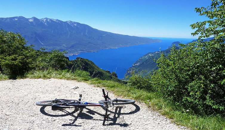
Mountainbike-Tour Tremalzo Runde
Die fahrt von ledro über die legendäre tremalzo-straße zählt nicht ohne grund zu den beliebtesten mountain bike rundtouren in der gardasee-region, bildergalerie: mountainbike-tour tremalzo runde.
Wir fahren die Tour von Molina di Ledro ausgehend im Uhrzeigersinn. Zuerst geht es über die "Strada del Ponale" ein Stück bergab bis zum Dörfchen Prè di Ledro (470 m ü.d.M.). Dort zweigt an der rechten Seite eine Bergstraße mit Kopfsteinpflaster ab, die zur Streusiedlung Leano führt. Von dort geht es am Forstweg mit Schotterbelag weiter zur Malga Vil und zum Passo Guil (1.211 m). Nach der schweißtreibenden Auffahrt erwartet uns hier oben eine gigantische Aussicht auf den Gardasee . Mit nur noch geringem Höhenunterschied geht es weiter zur Kreuzung an der Bocca dei Fortini und weiter zum Passo Nota, wo sich die Alpini-Schutzhütte befindet (letzte Einkehrmöglichkeit vor der Königsetappe).
Nun folgt der schönste und gleichzeitig auch anstrengendste Teil, der über die eigentliche Tremalzo-Passstraße führt, die das italienische Militär im 1. Weltkrieg errichtet hatte. Auf mehreren Serien von Kehren geht es auf der Schotterstraße meist bergauf, dann wieder kurz bergab, durch kleine Tunnels unter den süd-exponierten Felswänden der Tremalzo-Gruppe. Von den 1.200 Höhenmetern des Passo Nota geht es zum höchsten Punkt auf 1.855 m hinauf zur Galerie unter dem Corno della Marogna. Gleich nach dem Tunnel beginnt die befreiende Abfahrt - zuerst zum Schutzhaus am Passo Tremalzo, dann über die - nun asphaltierte - Straße ins Ledrotal hinab. Hier nutzen wir den Fahrradweg, um wieder zum Ledrosee und nach Molina di Ledro zurück zu gelangen.
- Ausgangspunkt: Molina di Ledro (bzw. beliebige Ortschaft entlang der Strecke)
- Dauer: 07:00 h
- Strecke: 50,4 km
- Höhenlage: von 469 bis 1.831 m ü.d.M.
- Höhenunterschied : +2505 m | -2505 m
- Wegverlauf: Molina di Ledro - Prè - Leano - Guil Pass - Bocca dei Fortini - Nota Pass - Pra di Rosa - Tremalzo Pass - Radweg Ledrotal - Ledrosee - Molina di Ledro
- Einkehrmöglichkeiten: Rifugio Alpini Passo Nota, Malga Ciapa, Albergo Garda Tremalzo
- Empfohlene Jahreszeit: Jan Feb Mär Apr Mai Jun Jul Aug Sep Okt Nov Dez
- GPX-Strecke herunterladen: Mountainbike-Tour Tremalzo Runde
Falls du diese Tour unternehmen möchtest, empfehlen wir dir, vor Antritt Informationen über die Wetterbedingungen und die Wegbeschaffenheit vor Ort einzuholen.
Änderung/Korrektur vorschlagen
Unsere Redaktion ist bemüht, aktuelle und korrekte Informationen zu veröffentlichen. Trotzdem können Fehler passieren oder Informationen unvollständig sein. Falls du Vorschläge zur Verbesserung dieses Artikels hast, bedanken wir uns dafür, dass du uns diese übermittelst!

Empfohlene Unterkünfte
Da Elda Natural Retreat
Camping Azzurro

Park Hotel Il Vigneto
Hotel Portici

Garni Le Prealpi
Verwandte themen.
Rad & Mountainbike


Jahreszeiten
Molina di Ledro
Tiarno di Sopra
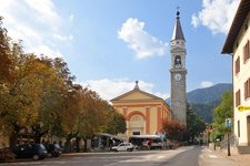
Tiarno di Sotto

Radwege im Trentino
Das Trentino bietet ein dichtes Netz…

Mountainbike
Die wunderschöne Landschaft des Trentino…

Latemar Mountainbike Tour
Die Umrundung des Latemar mit…

Dolomiti di Brenta Bike
Eine der beeindruckendsten…

MTB-Tour “100 km dei Forti”
Die Geschichte erfahren, die…

Radrundfahrt Tour of the Alps
Jedes Jahr im April fällt…

Francesco Moser
Einer der erfolgreichsten Radrennfahrer…

Gilberto Simoni
Ehemaliger Rennradfahrer und Sieger des…
- Accommodation
- Experiences
Tremalzo Big - Tour
- Download pdf
- GPX download
- Description
- Turn-by-turn directions
- How to get there
- Points of interest
Bike lovers who visit Valle di Ledro cannot miss a ride to the legendary Passo Tremalzo, a cult destination for bikers!
Signage: 779. Tremalzo Big Tour
This route has two souls. The ascent to Tremalzo, a real climb on an asphalt road with an average gradient of 7%, and the descent, a route full of excitement along old military roads with breath-taking curves and spectacular views of Lake Garda. To complete the tour there’s nothing better than a swim in Lake Ledro.
Variants: 779a. Variante Caset Rinalt - Trail - 779b. Variante Caset Pubregn - Trail
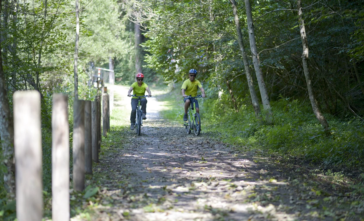
For more information on routes, bike services (rentals, workshops, shops) and cycling friendly accommodation: Garda Trentino - +39 0464 554444
It is also possible to do the tour in the opposite direction, i.e. clockwise, following the signposts marked 779. Tremalzo Big Tour - Clockwise. In this case, the ascent is on dirt road and the descent on asphalt.
ITRS - International Trail Rating System
The ITRS is an objective way to assess trails and routes from a biker’s perspective, evaluating four aspects:
- Technical Difficulty: riding skill level needed
- Endurance: combined effect of length, uphill and downhill
- Wilderness: amount of planning required based on mobile phone reception, rescue options, water supply and wildlife
- Exposure: consequences of a fall
Discover more about the ITRS system and check the classification of this tour in the photo gallery.
Safety Tips
- Always wear your helmet.
- Plan your ride.
- You share the trail with other users. Yield right of way to hikers.
- Let your speed be determined by your experience.
- Ride slowly on crowded trails, overtake with politeness and respect.
- Cycle only on authorized and open trails.
- Avoid muddy trails in order not to damage them further.
- Respect public and private property.
- Always be self-sufficient.
- Do not cycle solo in remote areas.
This information is subject to inevitable variations, so none of these indications are absolute. It is not entirely possible to avoid giving inexact or imprecise information, given how quickly environmental and weather conditions can change. For this reason, we decline any responsibility for changes which the user may encounter. In any case, it is advisable to check environment and weather conditions before setting out.
From the car park near the tourist office in Pieve di Ledro we take Via Imperiale and embark on the Valle di Ledro cycle path, which winds its way through fields and residential areas, alternating between sections closed to traffic and mixed stretches for about 7 km. Just before reaching the Lago d'Ampola nature reserve, almost at the end of the cycle path, we take the dirt road on the left, a rather steep shortcut to the provincial road to Tremalzo. From here the route to Passo Tremalzo is clearly defined and runs entirely on a tarmac road for about 15 km.
Those who wish to shorten the route can take the variants 779a. and 779b. at Rifugio Garibaldi and descend down the valley towards Tiarno di Sopra or towards Pieve via Bocca Caset. Both variants present more challenging technical characteristics than the descent from Bocca Fortini.
From the pass we continue along the old First World War military road towards Bocca di Val Marza, pass the tunnel and begin the descent towards Passo dei Gatùm, Passo Prà della Rosa and Passo Nota, characterised by the breathtaking curves that are among the highlights of this route. From Passo Nota the route becomes less steep and has a slight up and downhill stretch to Bocca Fortini. From Bocca Fortini we take the forest road to the left and begin the descent into the forest, which is quite steep in places. Ignoring the numerous forks along the way, we continue the descent for about 5 km, after which the dirt road gives way to a tarmac surface for the last stretch to Lake Ledro.
When we reach the lake, we turn left and continue alongside it, first on Via al Lago and then on Via Val Maria, until we reach Pur. At the crossroads we keep to the right, pass the beach and continue along Via Mal Maria. After about 1 km, at a hairpin bend, we take the cycle path on the right, which leads to the Pieve sailing club. From here we continue along Via Alzer and turn left at the first opportunity to rejoin the cycle path. This briefly rejoins Via Alzer and then turns left and runs alongside the stream for 1 km, after which it rejoins Via Imperiale. We turn right to return to our starting point.
Valle di Ledro is connected to Riva del Garda by the intercity bus line 214 (Riva-Valle di Ledro-Storo).
Up-to-date information on timetables and routes.
Find out how to reach Garda Trentino.
Parking between Via Imperiale and Via Nuova, near the info point.
Riding your bike requires specific clothing and equipment, even for relatively short and easy trips. It is always better to be prepared… e.g. for bad weather or a sudden drop in your energy levels. The unexpected things are part of the fun!
Remember to thoroughly evaluate the type of route you plan on doing, the locations you intend to cross and the current season. Has it been raining? Attention: The paths may be slippery and require more caution.
What do I need to bring on my bike tour?
- An adequate water supply according to your needs (considering temperature, possibility of refuelling and duration of the route)
- Plenty of snacks (for example, dried fruit or energy bars)
- Waterproof / Windproof jacket
- A spare top / spare socks (Descending in a sweaty garment, will make you cold).
- Bike gloves/mitts
- Map or GPS device
- Bike lights: best placed on your helmet or handlebars. (It is always best to be prepared)
- Bike repair kit for punctures and mechanical breakdowns
- First aid kit
- Emergency whistle
It is always advised to let someone know where you plan to go and how long you expect to be.
Emergency telephone number 112 .
- Press & Media
Official website of Garda Dolomiti – Azienda per il Turismo S.p.A. - +39 0464 554444 - [email protected] Cap. Soc. € 600.000,00 I.V. - REA N. 182762
- Towns & villages overview
- Riva del Garda overview
- Accommodations
- Restaurants
- Regional Produce
- Arco overview
- Torbole & Nago overview
- Ledro overview
- Comano overview
- Tenno overview
- Dro & Drena overview
- Valle dei Laghi overview
- Val di Gresta overview
- Surroundings
- Outdoor overview
- Bike overview
- Cycle paths
- Via ferratas
- Trail Running
- Water sports overview
- Windsurfing
- More Fun Outdoors
- Horse Riding
- Tennis and Padel
- Swimming in open water
- Pool Swimming
- Outdoor friendly Accommodation
- Dolce Vita overview
- Food & wine overview
- Regional produce
- Vacanze con Gusto
- Mese del Gusto
- Shopping overview
- Terme di Comano
- Family holidays overview
- Active family
- Merchandising
- BLU the Magazine
- Holiday Offers
- Garda Guest Card
- How to get here
- Local Mobility
- ORA Travel Guide
- From A to Z
- Working in Garda Trentino
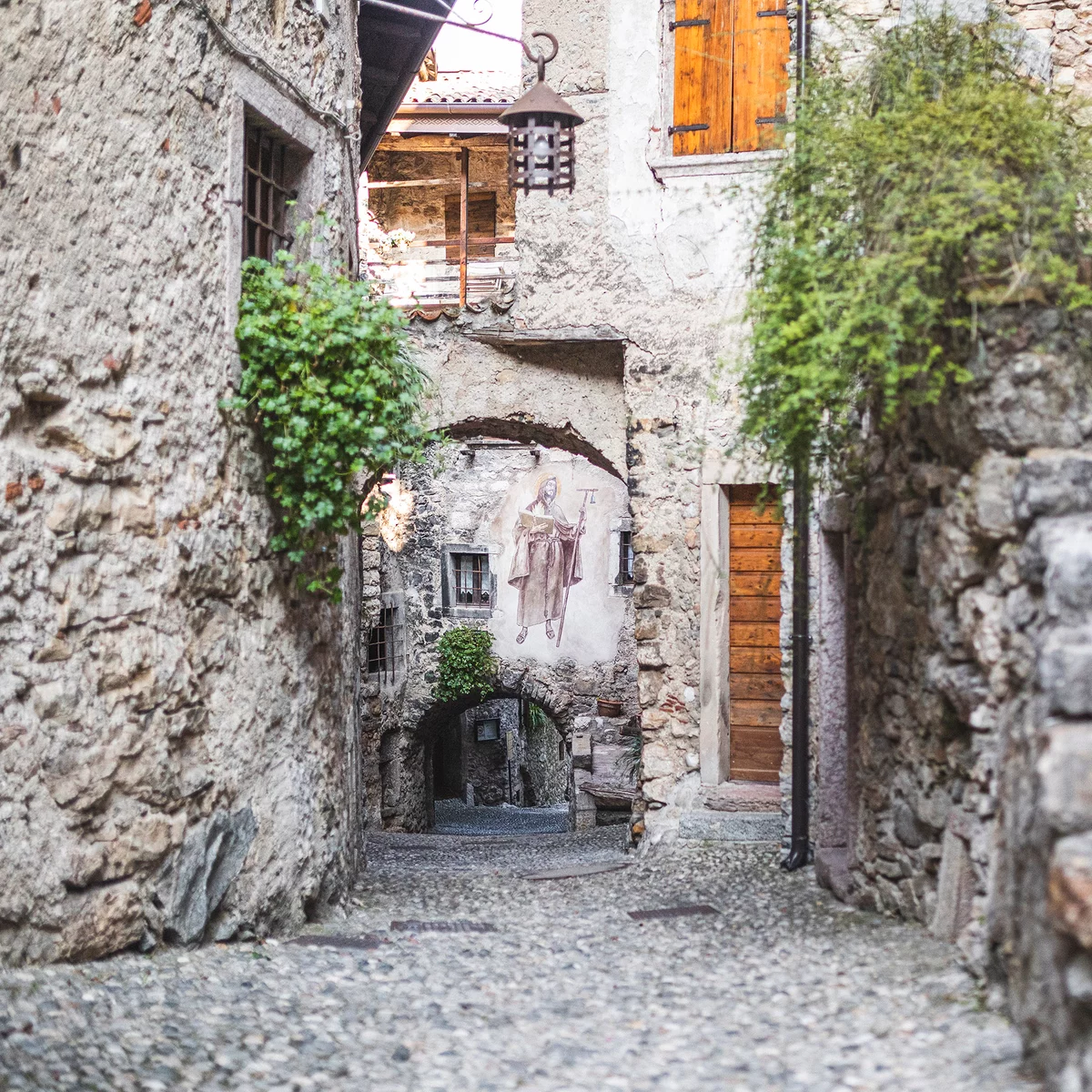
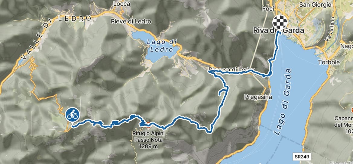
Tremalzo-Tour
Tourenbeschreibung.
Anspruchsvolle MTB-Rundtour zum Passo Tremalzo in den Gardaseebergen an der Grenze zwischen den oberitalienischen Provinzen Trient und Brescia:
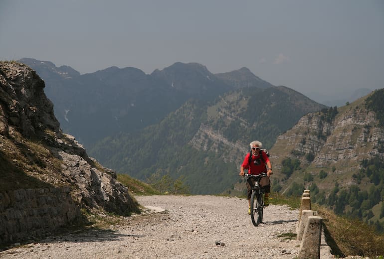
Bei Auffahrt mit dem Shuttlebus eine bequeme Panoramatour vom Feinsten, bei eigener Auffahrt zum Pass eine lange Tour für konditionsstarke Radler. Die Abfahrt vom Passo Tremalzo zählt zu den absoluten Höhepunkten eines jeden Bikers!
Höhenprofil
Bergwelten-tipp.
Diese MTB-Tour stammt aus dem Buch "Gardasee - Wandern, Kanu, Rad, Klettersteige" von Alfons Zaunhuber, erschienen im Thomas Kettler Verlag.
Tour nur mit Mountainbike empfohlen. Bremsen vorher checken, Ersatzschlauch & Flickzeug mitführen!
Sehenswert sind der Ortskern von Riva del Garda, das Pfahlbaumuseum Museo delle Palafitte und der Parco Botanico in Molina di Ledro sowie die barocke Pfarrkirche San Giacomo Maggiore (ursprünglich aus dem Jahr 1537) in Prè di Ledro.
In Bezzecca lohnt sich das Museo Garibaldino mit Ausstellung über die einheimische Geschichte des Valle di Ledro mit besonderem Bezug auf die Kämpfe unter der Führung Garibaldis und den Ersten Weltkrieg (Mitte Jun-Ende Sep Mi-So 10-18, Eintritt frei) und am Lago d‘Ampola kann man das Besucherzentrum des NSG Lago d‘Ampola (Mai-Sep, Di-Sa 10-13.30, 15-18.30) besuchen.
Anfahrt & Parken
Autobahnausfahrt Rovereto-Süd über Mori, Passo San Giovanni, Nago und Torbole nach Riva.
Parken im Ortszentrum von Riva.
Weitere Tourenempfehlungen
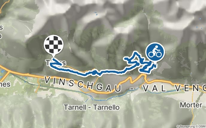
Vinschgau Cross - Etappe 2: Schlandersberg - Tanas
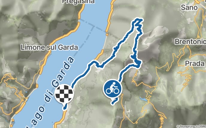
Rodeo über 2.000 Meter - der Klassiker „601“

Uphill zur Naturnser Alm

Latscher Alm-Tour
Bergwelten entdecken, unterkünfte.

Tourensuche >>
Radtour über den Tremalzo
Zuletzt aktualisiert am 16. april 2024.
- Gesamtlänge: 61,6 Kilometer
- zu überwindende Höhenmeter: 2.250
- höchster Punkt: 1.702m
- Fahrzeit: knapp 7 Stunden
- Schwierigkeitsgrad: schwer
- Wegbeschaffenheit: Nebenstraßen, Radwege, Passstraße, breite und auch schmale Schotterwege – zur Karte
- ️Einkehrmöglichkeiten auf der Tour: ja
Die Radtour mit dem Mountainbike von Riva del Garda auf den Tremalzo Pass ist nicht „nur“ ein Gardasee-Klassiker . Mit 2.250 Höhenmetern und knapp 62 Kilometern Länge ist diese Tour auch konditionell eine Herausforderung und „der Pass der Pässe“ am See.
Mit dem Mountainbike von Riva del Garda über die Ponale Strasse
Start und Zielort ist Riva del Garda. Vom Hafen aus erreicht man in südlicher Richtung, einige hundert Meter nach dem Ortsende, den Einstieg in die Ponale Strasse. Der im Frühjahr 2018 sanierte Weg hat etwas von seinem trailigen Charakter verloren. Die Auffahrt macht aufgrund der angenehmen Steigungsprozente aber immer noch Laune. Zudem ist die Aussicht auf den Gardasee einfach traumhaft.
Viele Wanderer und Radfahrer nutzen die Ponale Strasse, unter anderem für den Zustieg zu den Klettersteigen Susatti und Foletti. Am frühen Morgen ist es daher deutlich ruhiger. Es geht auf überwiegend sandigem Untergrund durch Tunnels und am Fels entlang hinauf bis zum Ausflugscafé Ponalealto. Das ist spätestens auf dem Rückweg einen Zwischenstopp wert ist. Die Aussicht von der Dachterrasse ist überragend!
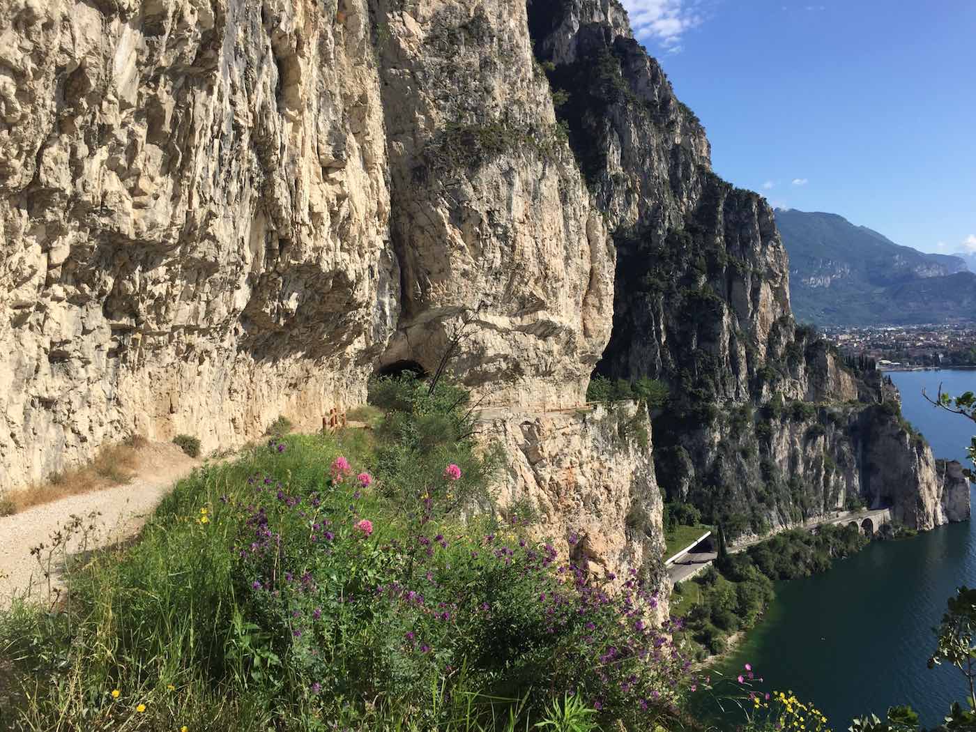
Auf dem Weg zum Lago di Ledro
Von nun an geht es in einigen Kehren auf einer asphaltierten, aber für den öffentlichen Verkehr gesperrten Strasse, nach oben. Kurz vor dem Ort Biacesa treffen wir auf die Verbindungsstrasse zwischen Riva del Garda und dem Ledrosee. Nach ein paar hundert Metern auf der vielbefahrenen Strasse geht es aber schon wieder links ab über eine Brücke und dann rechts auf den Radweg in Richtung Ledrosee.
Der schottrige Weg steigt meist nur leicht an, bevor eine kleine Rampe zum Ortseingang von Pre führt. Nach der Brücke, die in den Ort führt, halten wir uns den Wegweisern folgend links und fahren auf einem kleinen Sträßchen nach Molina di Ledro. Vor und nach dem Ort stehen ein paar knackige Rampen auf dem Programm, bevor der Lago di Ledro erreicht ist. Aber auch dieser Teil des Wegs bis nach Ledro wurde 2018 saniert und die Steigung deutlich entschärft.

Anfahrt zum Tremalzo
Nun geht es linker Hand um den See. Zunächst auf einer öffentlichen, aber kaum befahrenen Strasse, dann ab einem Campingplatz durch ein kleines Wohngebiet. An dessen Ende folgt ein breiter Waldweg der in leichtem Auf und Ab nach Bezzecca, ans westliche Ende des Sees führt. Etwa in der Mitte des Ortes geht es links ab in Richtung Tiarno di Sotto.
Immer links zur Strasse 240 die zum Idro See führt, geht es nahezu ebenerdig bis zu einem Biotop. Ein erster Weg, der links in den Wald in Richtung Tremalzo führt, erweist sich am Ende knackig steil. Fährt man noch ein paar Minuten weiter geradeaus, so erreicht man den direkten Einstieg zum Passo Tremalzo, mit deutlich weniger Aufwand.
Nun folgt die etwa 12 Kilometer lange Auffahrt über die Passstrasse. Da es am oberen Ende der Strasse nicht weitergeht, hält sich der Verkehr (was ich zumindest bei meinen bisherigen Auffahrten festgestellt habe) in Grenzen. Die Steigung ist einer Passstrasse angemessen moderat. Die gut 900 Höhenmeter bis zum Ende der asphaltierten Strasse lassen sich daher in einem guten Rhythmus fahren. Am Ende des Strasse gibt es ein Lokal. Das setzt zwar keine kulinarischen Akzente, eine einfach Portion Nudeln tut aber nach der bisher geforderten Leistung gut.
Die letzten Höhenmeter bis zum höchsten Punkt geht es auf einem breiten Schotterweg nach oben. Oben angekommen führt der Weg durch einen Tunnel, dessen Eingang in der ein oder anderen Juni-Woche durchaus noch mit einem Schneefeld „geschmückt“ sein kann.

Die Abfahrt über den Passo Nota
Hinter dem Tunnel folgt die steile und tiefschottrige Abfahrt in Richtung Passo Nota. Teilweise herrscht hier in der Gegenrichtung reges Treiben. Es kann einem auch schon das ein oder andere Motorrad auf dem schmalen Weg begegnen. In jedem Fall werden die Bremsen ausreichend beansprucht. Das Rifugio degli Alpini bietet am Passo Nota nochmal die Möglichkeit zur Einkehr, bevor es über ein paar Höhenmeter zur Bocca dei Fortini und dann linker Hand auf einem wunderschönen Waldweg hinunter nach Molina di Ledro geht.
Alternativ kann man vom Passo Nota auch die lange Abfahrt nach Limone sul Garda wählen und dort mit dem Schiff zurück nach Riva fahren.
Die Abfahrt nach Molina sollte in jedem Fall bis zur bekannten Strasse bei der Hinfahrt „durchgezogen werden“. Biegt man beispielsweise in Legos zu früh rechts ab, ist der Weg zu Beginn zwar noch toll zu fahren, spätestens im Wald beginnt man aber zu schieben und zu tragen, bevor man in Pre wieder auf den bekannten Weg trifft. Die weitere Rückfahrt erfolgt in Richtung Biacesa und weiter über die Ponale Strasse zurück nach Riva del Garda.
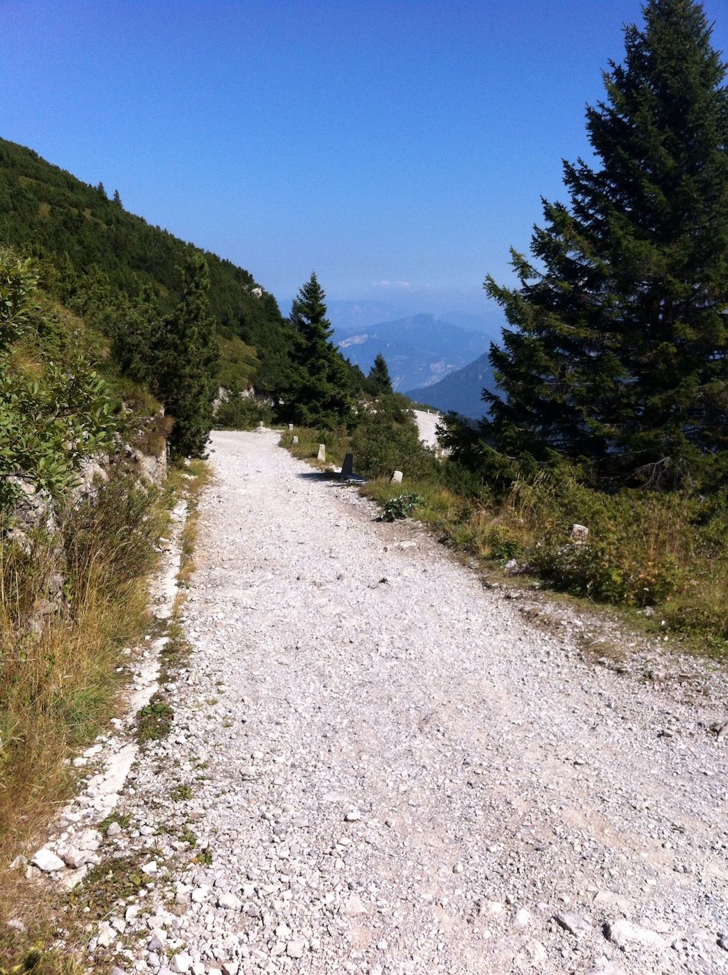
Karte zur Radtour auf und über den Tremalzo
Hier findest Du die Karte zur Radtour auf den Tremalzo, inklusive GPX-Daten zum Download.
Sie sehen gerade einen Platzhalterinhalt von komoot . Um auf den eigentlichen Inhalt zuzugreifen, klicken Sie auf den Button unten. Bitte beachten Sie, dass dabei Daten an Drittanbieter weitergegeben werden.
Weitere Informationen Inhalt entsperren Erforderlichen Service akzeptieren und Inhalte entsperren
Du willst keinen Beitrag mehr verpassen? Dann abonniere Bergparadiese.de per Email und erhalte automatisch alle neuen Beiträge und Tourentipps (diesen kostenfreien Service kannst Du jederzeit wieder abbestellen).
E-Mail-Adresse
jetzt abonnieren
Über den Autor
Björn von bergparadiese.de, kommentar verfassen kommentieren abbrechen.
Deine E-Mail-Adresse wird nicht veröffentlicht. Erforderliche Felder sind mit * markiert
E-Mail-Adresse*
Meinen Namen, meine E-Mail-Adresse und meine Website in diesem Browser für die nächste Kommentierung speichern.
Benachrichtige mich über neue Beiträge via E-Mail.
Inhaltsverzeichnis
Entdecke mehr von Bergparadiese.de
Jetzt abonnieren, um weiterzulesen und auf das gesamte Archiv zuzugreifen.
Gib deine E-Mail-Adresse ein ...
Weiterlesen
Sie sehen gerade einen Platzhalterinhalt von Booking.com - Affiliate . Um auf den eigentlichen Inhalt zuzugreifen, klicken Sie auf die Schaltfläche unten. Bitte beachten Sie, dass dabei Daten an Drittanbieter weitergegeben werden.
- Bike & MTB
- Mountain bike tours
- X-treme Biking
X-treme Biking - one of the toughest mountain bike trails in Europe
- Monte Altissimo Downhill
- Monte Tremalzo
- Punta Veleno
- Skull Freeride Trail
- Strada del Ponale
Extreme biking awaits all those who choose this demanding bike ride at Lake Garda. At Limone on the west coast, old military roads meander up to the 1,865-meter-high Passo Tremalzo, with incredible views of the lake below.
The route is in the heart of the Parco Alto Garda Bresciano . It leads from Limone , at 50 metres above sea level, to the Passo Tremalzo at 1,865 metres above sea level. Then it goes on a spectacular descent of 7 km with a gradient of 9% and another 9 km with a gradient of 13 to 30% from the Passo Guil back to Limone on Lake Garda.
The mountain bike tour overcomes a distance of 30 km and about 2000 meters in altitude . The entire route is 51 km and is recommended only for trained mountain bikers .
Updated: 19/04/2024
- Hotels at Lake Garda
- Apartments at Lake Garda
- Campings at Lake Garda
The best MTB trails in Perm Krai
Mountain biking in Perm Krai is one of the best ways to explore more of this area of Russia. To help you experience the best the region has to offer, we’ve reviewed our full collection of mountain bike routes to bring you the best. Just click on any of the routes below to browse real tips and photos shared by other members of Komoot’s mountain biking community, to see what they liked most about these Tours—and to find the perfect mountain bike route for your next ride.
Plan. Save. Navigate. Your best adventures await.
Start today with a free komoot account.
Popular around Perm Krai

Find the perfect Tour
Explore the most popular tours in perm krai.

Running Trails in Perm Krai

Cycling in Perm Krai

Road Cycling Routes in Perm Krai

Gravel biking in Perm Krai
Discover the most popular attractions in Perm Krai

Attractions in Perm Krai
Didn’t find what you were looking for? Check out more MTB Trails throughout Perm Krai below and find the perfect Tour in your destination.
- Kama Reservoir
Explore more of Russia : Browse the best MTB Trails in other regions.
- Leningrad oblast
- Kaliningrad
- Greater Caucasus
- Krasnodar Krai
- Republic of Karelia
- Novosibirsk
- Saint Petersburg
- Chelyabinsk
- Stavropol Krai
- Karachay-Cherkessia

COMMENTS
The mountain bike tour on the Monte Tremalzo is one of the absolute bike classics at Lake Garda. With long uphill sections, flowing downhill parts and breathtaking views of Lake Garda. ... take path no. 222 to the Valle Prà delle Noci and along a dirt road through the Valle San Michele and to Tremosine and Limone. From there you take the ferry ...
Da Vesio lungo la valle San Michele per giungere il passo Tremalzo, la discesa sulla interminabile sterrata militare fino al Passo Nota dove si fa ritorno a Vesio ... Il tour descritto parte ed arriva da Vesio, è possibile allungare il tour partendo da Limone e raggiungere Vesio su strada, in questo caso si aggiungono 7 km, 650 mt di ...
Mountainbike-Touren rund um Limone Sul Garda: Die 20 schönsten MTB-Routen und Trails mit persönlichen Tipps und Bildern von anderen Mountainbikern. ... Tremalzo-Pass Runde von Limone sul Garda. 05:42. 55,8 km. 9,8 km/h. 2.010 m. 2.010 m. Schwer. 4,9 (229) 2.024. Schwere Mountainbike-Tour. Sehr gute Kondition erforderlich. Fortgeschrittene ...
The Tremalzo tunnel crosses Mt Corno della Marogna - with 1,855 m asl it is the highest point of the Tremalzo round tour. View through the Bocca di Val Marzo. Here our downhill run starts! The road leads from the slope of Mt Tremalzo downhill to the mountain pass. The gravelled road ends at the Garda mountain inn at the Passo Tremalzo.
Für den MTB Klassiker in den Gardaseebergen - den Passo Tremalzo (1.845 m) - gibt es einige Varianten. Die längste startet direkt am Gardasse in Riva oder Limone - hier sind es aber mindestens 1.800 hm zu radeln. ... Die Tour startet am Ostufer des Ledrosees (652 m) in der Ortschaft Molina die Ledro bzw. Legos. Man fährt einige Meter ...
Signage: 733. Tremalzo Garda XXL - Tour. The tour touches on many iconic places of Garda Trentino: the Ponale Trail, overlooking the lake from imposing cliffs, Lake Ledro, irresistibly inviting to a refreshing dive, the serpentines of Tremalzo, a true legend for all bikers in the area, and Punta Larici, one of the most awe-inspiring places to look at Lake Garda from above.
Signage: 779. Tremalzo Big Tour. This route has two souls. The ascent to Tremalzo, a real climb on an asphalt road with an average gradient of 7%, and the descent, a route full of excitement along old military roads with breath-taking curves and spectacular views of Lake Garda. To complete the tour there's nothing better than a swim in Lake ...
Mountain Bike Trails around Limone Sul Garda: See the top 18 most beautiful MTB routes and trails with personal tips from other mountain bikers. ... Monte Tremalzo - Tremalzo Pass loop from Limone sul Garda. 05:46. 57.4 km. 10.0 km/h. 2,030 m. 2,030 m. Expert. 5.0 (204) 1,813. ... Some portions of the Tour may require you to push your bike ...
Mountainbike-Tour Tremalzo Runde. Die Fahrt von Ledro über die legendäre Tremalzo-Straße zählt nicht ohne Grund zu den beliebtesten Mountain Bike Rundtouren in der Gardasee-Region. Karte zeigen. Von Molina di Ledro aus fahren wir auf dem "Sentiero del Ponale" ein kurzes Stück bergab in Richtung Riva del Garda.
Gardasee: MTB-Tour zum Tremalzo. Schwere Mountainbike-Tour. Sehr gute Kondition erforderlich. Fortgeschrittene Fahrtechnik notwendig. Auf einigen Passagen wirst du dein Rad vielleicht schieben müssen. Plan jeden Abschnitt deines Abenteuers einzeln für sich mit dem Mehrtagesplaner - verfügbar als Teil von komoot Premium.
Tremalzo Big Tour. This route has two souls. The ascent to Tremalzo, a real climb on an asphalt road with an average gradient of 7%, and the descent, a route full of excitement along old military roads with breath-taking curves and spectacular views of Lake Garda. To complete the tour there's nothing better than a swim in Lake Ledro.
X-treme Biking. Die Mountainbiketour auf den Monte Tremalzo gehört zu den absoluten Bike-Klassikern am Gardasee - mit langen Uphill-Passagen, flowigen Downhill-Parts und immer wieder atemberaubenden Aussichten auf den Gardasee. Da der Monte Tremalzo Teil des Pflichtprogramms jedes Mountainbike-Urlaubs am Gardasee ist, stellen wir Bikern hier ...
Tourenbeschreibung. Anspruchsvolle MTB-Rundtour zum Passo Tremalzo in den Gardaseebergen an der Grenze zwischen den oberitalienischen Provinzen Trient und Brescia: Bei Auffahrt mit dem Shuttlebus eine bequeme Panoramatour vom Feinsten, bei eigener Auffahrt zum Pass eine lange Tour für konditionsstarke Radler.
Tremalzo-Tour is a 48 mile moderately popular intermediate route located near Riva del Garda. This mountain bike only route. This route climbs 9,458 ft with a max elevation of 6,005 ft then descends -9,460 ft. Please consider joining or donating to the local riding association to support trail development & maintenance.
Fahrzeit: knapp 7 Stunden. Schwierigkeitsgrad: schwer. Wegbeschaffenheit: Nebenstraßen, Radwege, Passstraße, breite und auch schmale Schotterwege - zur Karte. ️Einkehrmöglichkeiten auf der Tour: ja. Die Radtour mit dem Mountainbike von Riva del Garda auf den Tremalzo Pass ist nicht „nur" ein Gardasee-Klassiker.
It leads from Limone, at 50 metres above sea level, to the Passo Tremalzo at 1,865 metres above sea level. ... descent of 7 km with a gradient of 9% and another 9 km with a gradient of 13 to 30% from the Passo Guil back to Limone on Lake Garda. The mountain bike tour overcomes a distance of 30 km and about 2000 meters in altitude.
Ohyeeete is an intermediate mountain bike ride: 51.9 km and takes 04:12 h. View this route or plan your own!
Perm (Krai) Perm Region (Krai) is located on the western slopes of the Urals and is home to the Russian salt mining industry. Locals got the funny nickname 'salt ears', because the workers ...
Mountain Bike Trails around Kama Reservoir: See the top 13 most beautiful MTB routes and trails with personal tips from other mountain bikers. ... Our Tour recommendations are based on thousands of activities completed by other people on komoot. Learn more. Popular around Kama Reservoir.
Mountain biking in Perm Krai is one of the best ways to explore more of this area of Russia. To help you experience the best the region has to offer, we've reviewed our full collection of mountain bike routes to bring you the top 12. Just click on any of the routes below to browse real tips and photos shared by other members of Komoot's mountain biking community, to see what they liked ...